| |
| |
| |
| |
|
Convenient display options
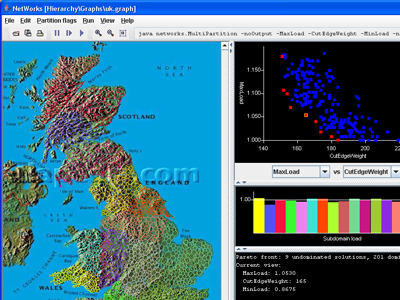
The example graph shown on this page is extracted from a finite element mesh and is not meant to represent a real mobile phone network. The UK map is provided by atlapedia.com. |
||
© University of Greenwich, 2006-2026. Site maintained by |

